North Thompson

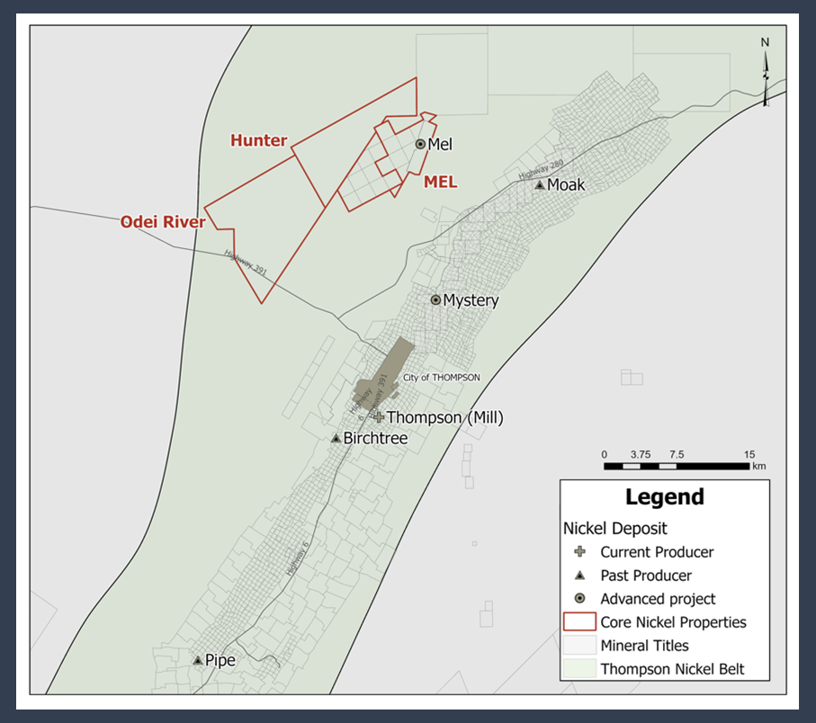
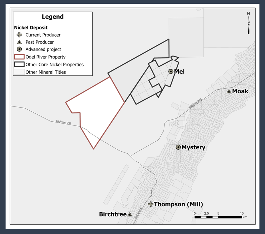
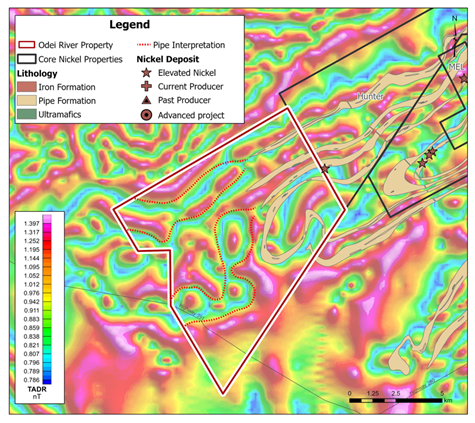
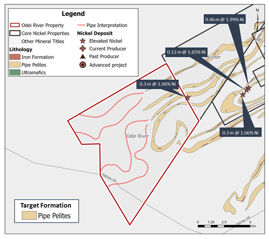
Core Nickel’s North Thompson properties consist of a contiguous land package with over 17,000 ha of land containing ample strike length of the target Pipe Formation Pelites associated with several known intersections on the properties, including hosting the Mel Deposit. Overburden on the northern properties is approximately 19 metres on average, and all properties are strategically located about 20 km from the Thompson Mine and are proximal to highways and other infrastructures.

Odei River Project Location

  • Odei River is 100% owned by Core Nickel.
  • The project consists of one mineral exploration license for a total of 9,411 ha of land.
  • Odei River is strategically located 16 km north of Thompson, Manitoba.

History

Project Potential

  • Odei River has very little exploration work done on the property.
  • Historical drilling intersected elevated nickel (1.06% Ni over 0.3 m) on the Hunter-Odei River property boundary associated with the target stratigraphy that hosts the Thompson deposit, the Pipe Formation pelites.
  • Historical geological mapping shows the Pipe Formation pelites barely extend onto the Odei River property. However, magnetic surveys over the north Thompson area illustrate that it is highly likely Pipe Formation extends much further onto the Odei River property.
  • The Odei River property has the potential for Thompson and Birchtree-Type deposits.

Future Work

  • Future work on the Odei River Property will consist of magnetics and electromagnetic surveys to identify the location of the Ospwagan group units.
  • Project scale airborne geophysical surveys will be followed by ground geophysics and drilling